Sam Long · 30 September 2026
Drought Monitoring Insights Spur Digital Tools and Neighborhood Greenery Efforts in Swiftfeld
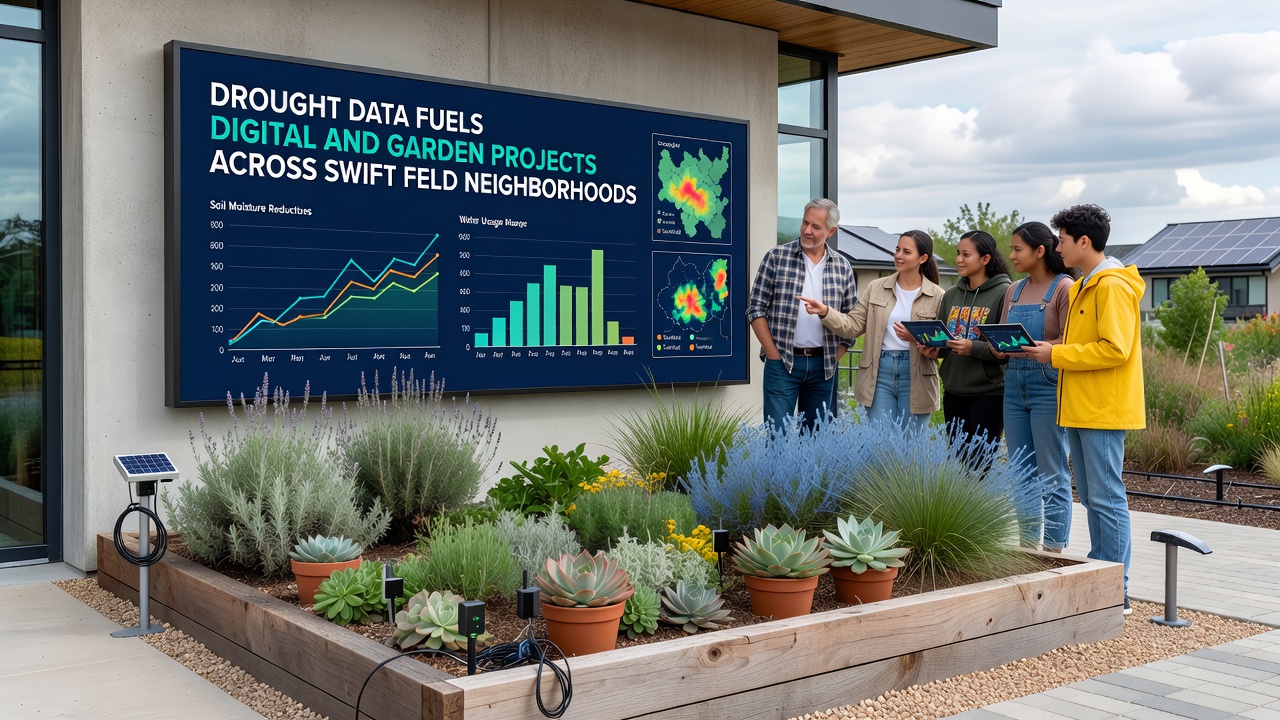
Communities across Swiftfeld have begun integrating drought monitoring datasets with local planning tools, and this approach has led to coordinated digital platforms alongside adapted garden spaces in several residential districts. Data collected from regional weather stations and soil sensors provides the foundation for these efforts, while residents and local groups apply the information to manage water resources more precisely in both virtual models and physical plots.
Digital Platforms Built on Drought Records
Software developers in the area have created applications that pull real-time readings from public drought indices, and these tools allow neighborhood associations to simulate water distribution scenarios before implementing changes on the ground. One project launched in early 2026 uses historical precipitation figures from the European Environment Agency to forecast stress periods, which helps planners adjust irrigation schedules in shared green spaces. The same datasets feed into mobile dashboards that residents access to track moisture levels in their immediate surroundings.
Researchers at nearby institutions have noted how combining satellite imagery with ground-level sensors produces more accurate local forecasts, and Swiftfeld groups have incorporated these combined outputs into open-source mapping systems. By September 2026 additional layers of soil composition data became available through federal environmental portals, which further refined the digital models used for neighborhood-level decisions. These platforms do not replace traditional methods but supplement them with layered visualizations that highlight vulnerable zones.
Garden Adaptations Guided by the Same Information
Community gardens throughout the Swiftfeld districts have shifted planting selections and layout designs based on the identical drought datasets driving the digital tools. Groups have replaced high-water crops with drought-tolerant varieties in sections identified as lower-moisture zones, while mulching techniques informed by evaporation rate calculations help retain soil humidity. Several plots now feature automated drip systems triggered by sensor thresholds derived from the monitoring records.
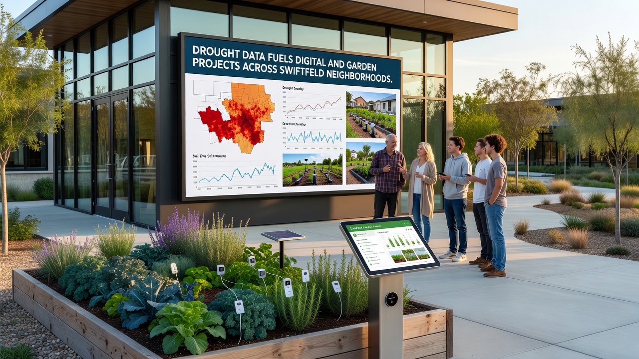
One collective in the eastern part of the neighborhood documented how they reorganized raised beds after reviewing three years of local aridity patterns, and the resulting arrangement reduced overall water demand while maintaining yields. Similar adjustments appear in western districts where shared orchards incorporated canopy covers calculated from sunlight and wind data tied to drought indices. These physical changes run parallel to the digital simulations, creating a feedback loop where garden observations update the models used by other groups.
Integration Across Neighborhoods
Coordination meetings held monthly bring together data analysts, gardeners, and municipal representatives to review updates from both digital and field sources, and this exchange has produced standardized protocols for sharing sensor outputs. Neighborhoods that adopted the combined approach early report smoother transitions during dry spells, whereas later adopters have drawn on those experiences to accelerate their own setups. The process relies on publicly available records rather than proprietary information, which keeps participation open to smaller community organizations.
Additional projects under discussion include linking garden performance metrics directly into the existing apps, which would allow predictive adjustments before seasonal shifts occur. Data from the Australian Bureau of Meteorology on comparable temperate-zone responses has been referenced in planning documents as a comparative benchmark, though local conditions dictate the final implementations. Observers note that the dual focus on digital modeling and hands-on gardening creates measurable efficiencies in resource allocation across the participating areas.
Conclusion
The use of drought data continues to connect digital development with tangible garden modifications throughout Swiftfeld, and ongoing releases of refined datasets promise further refinements in both domains. Neighborhood groups maintain the systems through volunteer networks supported by the shared information infrastructure, while new participants join as the tools become more accessible. This pattern demonstrates how environmental records translate into localized actions when communities apply them consistently across digital and physical projects.